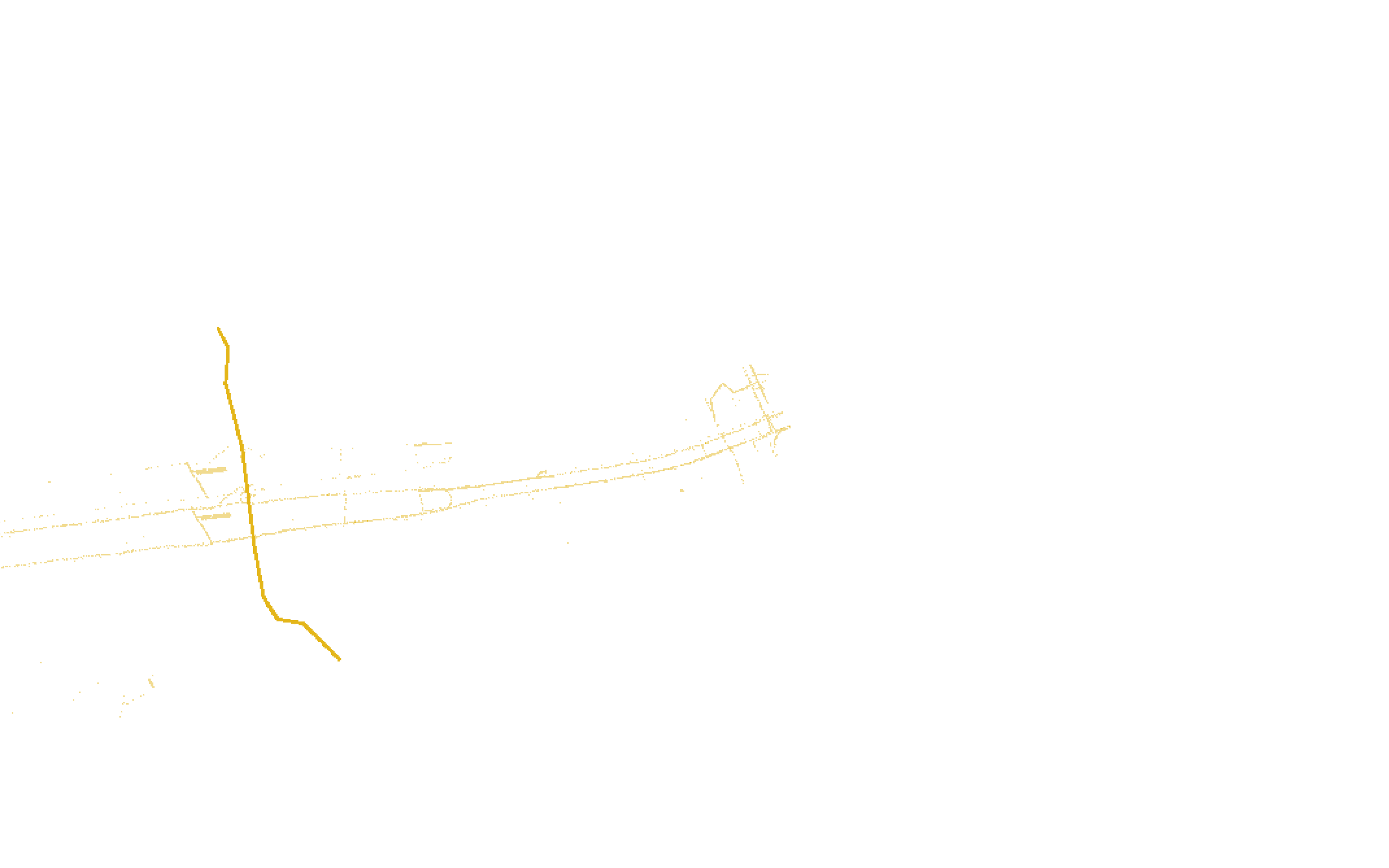
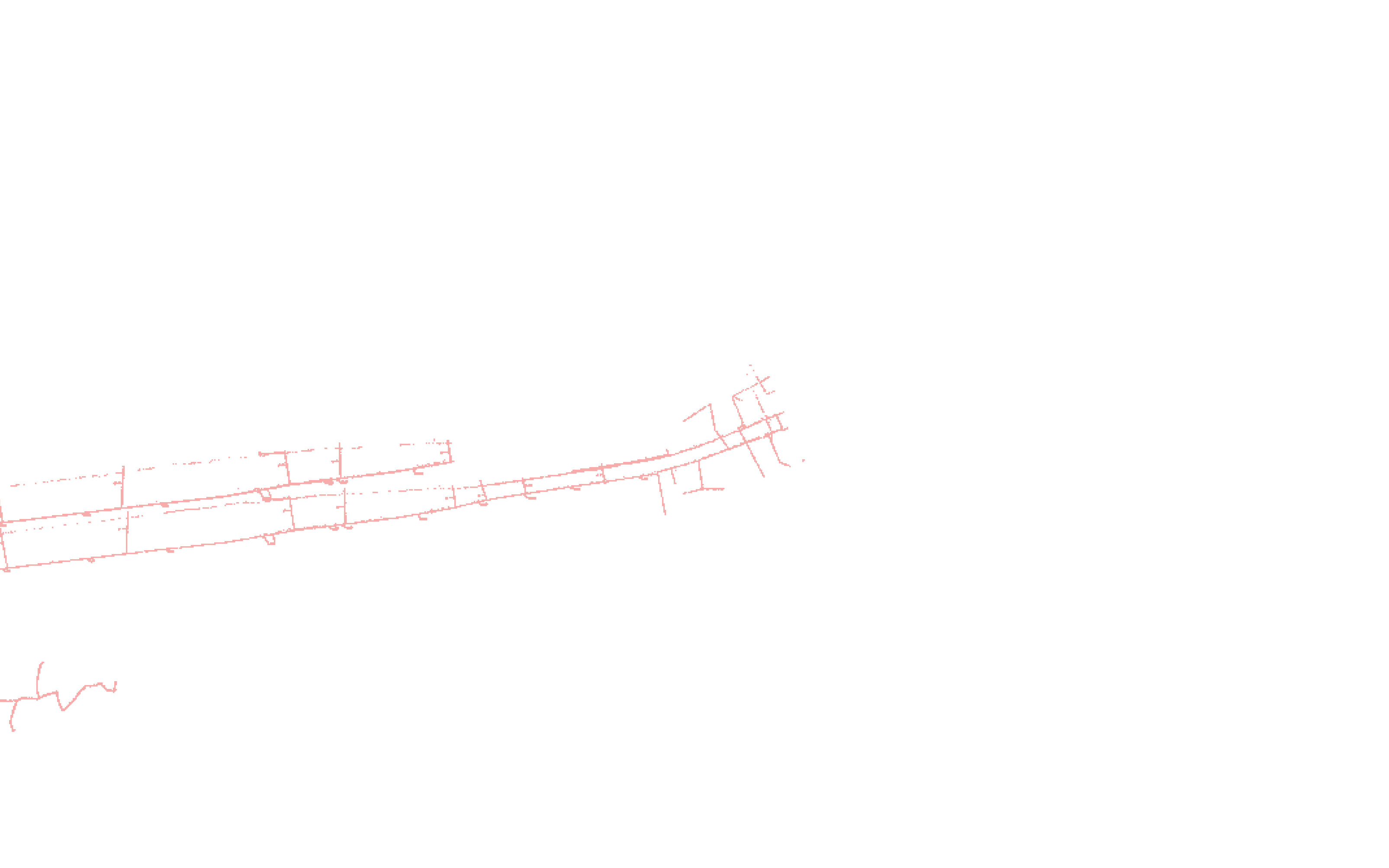
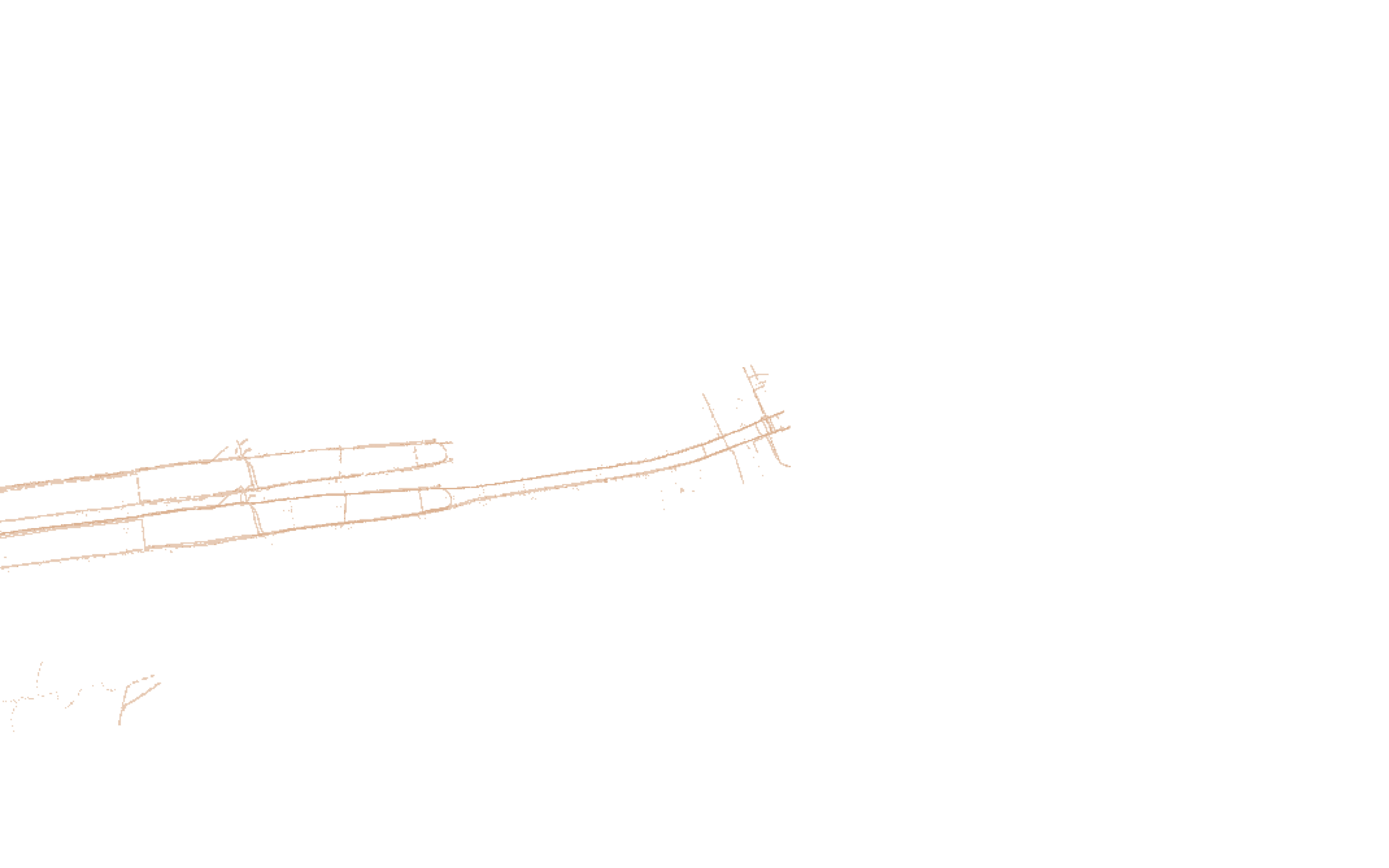
Send the records as you received them
GIS files, CAD drawings, scans and screenshots, read on one computer. No outside AI service sees them.
Caisson drafts the existing utilities from the records you collect, ties each line to its source, and flags every missing or conflicting record.
STA 1+00The records
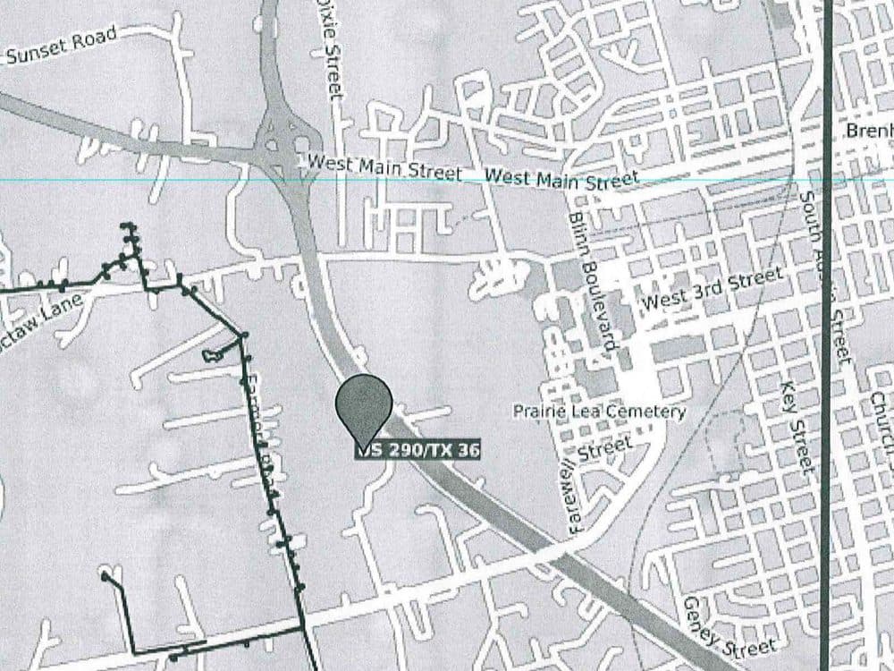
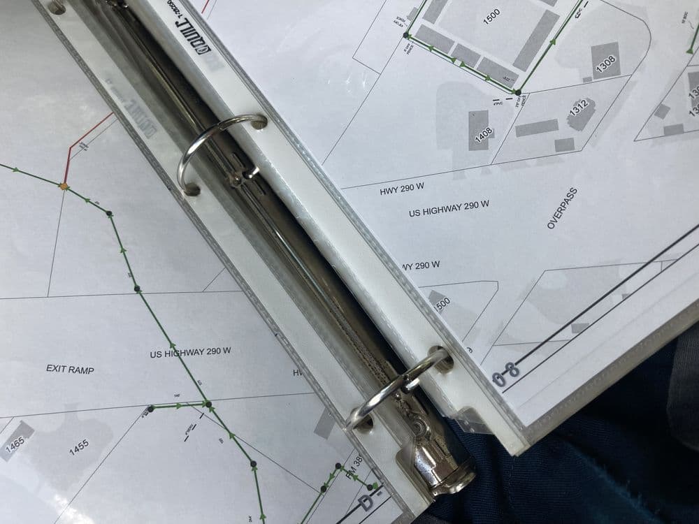
Before a street or pipe job is designed, someone at the design firm draws every buried pipe and cable into the base map, from GIS files, scanned PDFs and decades-old map sheets.
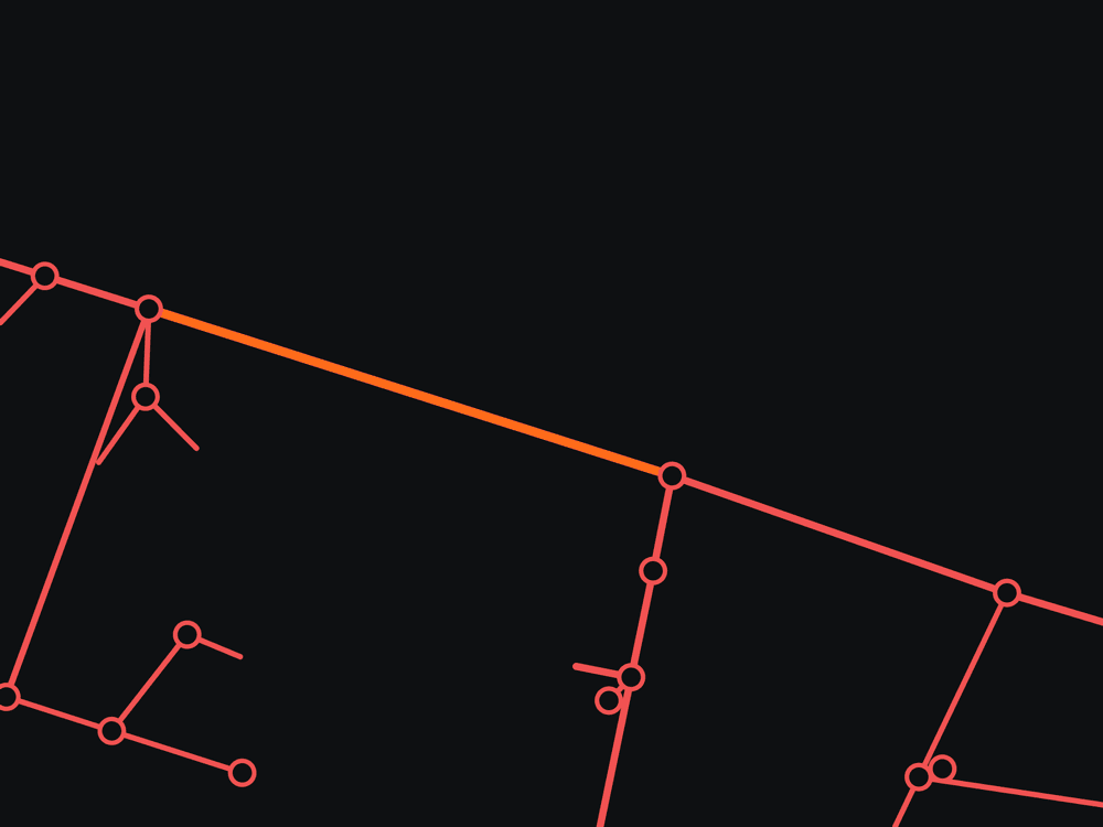
| wmNumber_1 | Three Phase |
|---|---|
| wmType | Overhead |
| Shape_Leng | 348.83 |
| wmNumber_1 | Three Phase |
|---|---|
| wmType | Overhead |
| Shape_Leng | 348.83 |
STA 2+00How it works
GIS files, CAD drawings, scans and screenshots, read on one computer. No outside AI service sees them.
A DXF your drafter finishes and your engineer seals. Every line keeps the file, layer or page it came from.
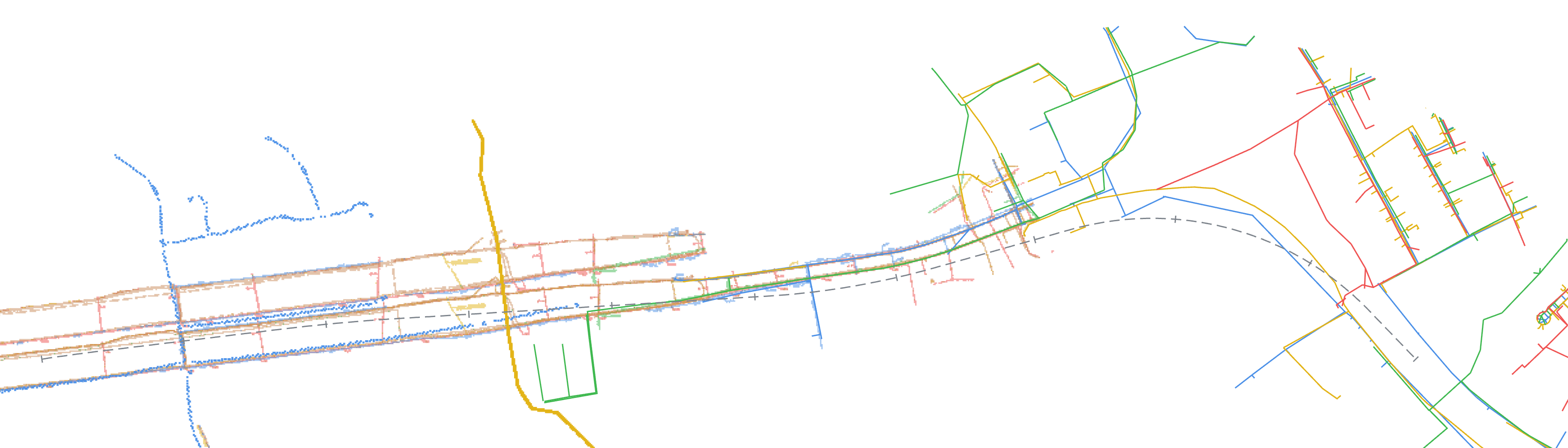
Each flag shows both records at that spot, what to draw and whom to ask, checked by hand. Six of the 103 flags on the US 290 job:
 745+00755+00765+00775+00785+00795+00805+00815+00825+00835+00845+00
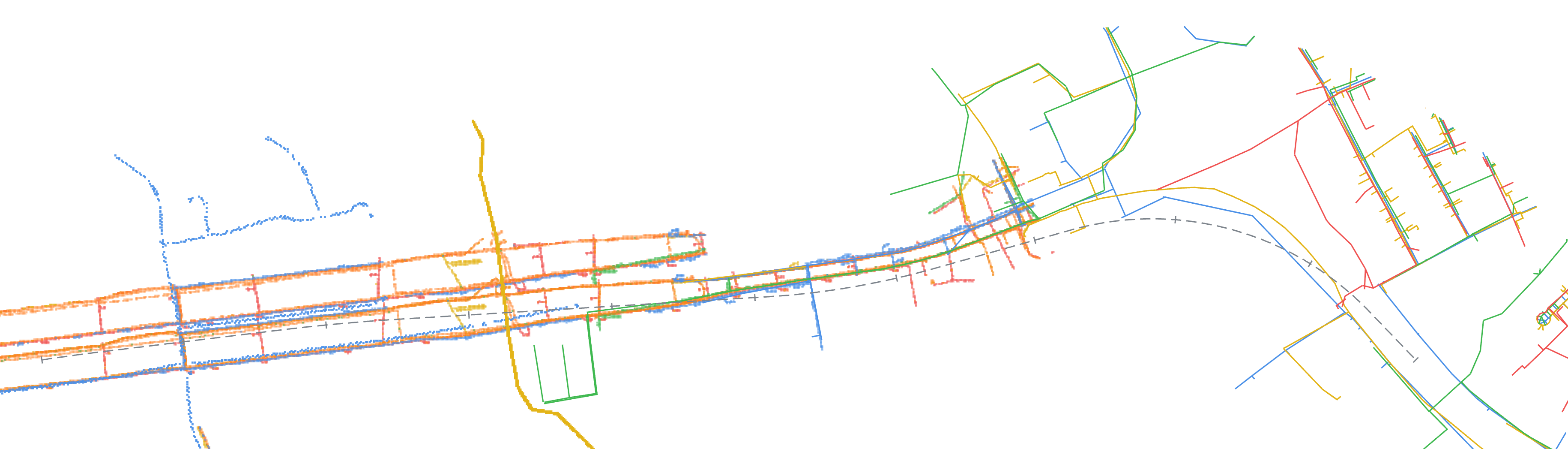
US 290 at SH 36, Brenham, Texas, drafted from public records: the state highway plan set and the city's GIS and gas map sheets.
The numbers are the six flags listed in step 3. A number appears twice where one flag covers two places.
STA 3+00One flag
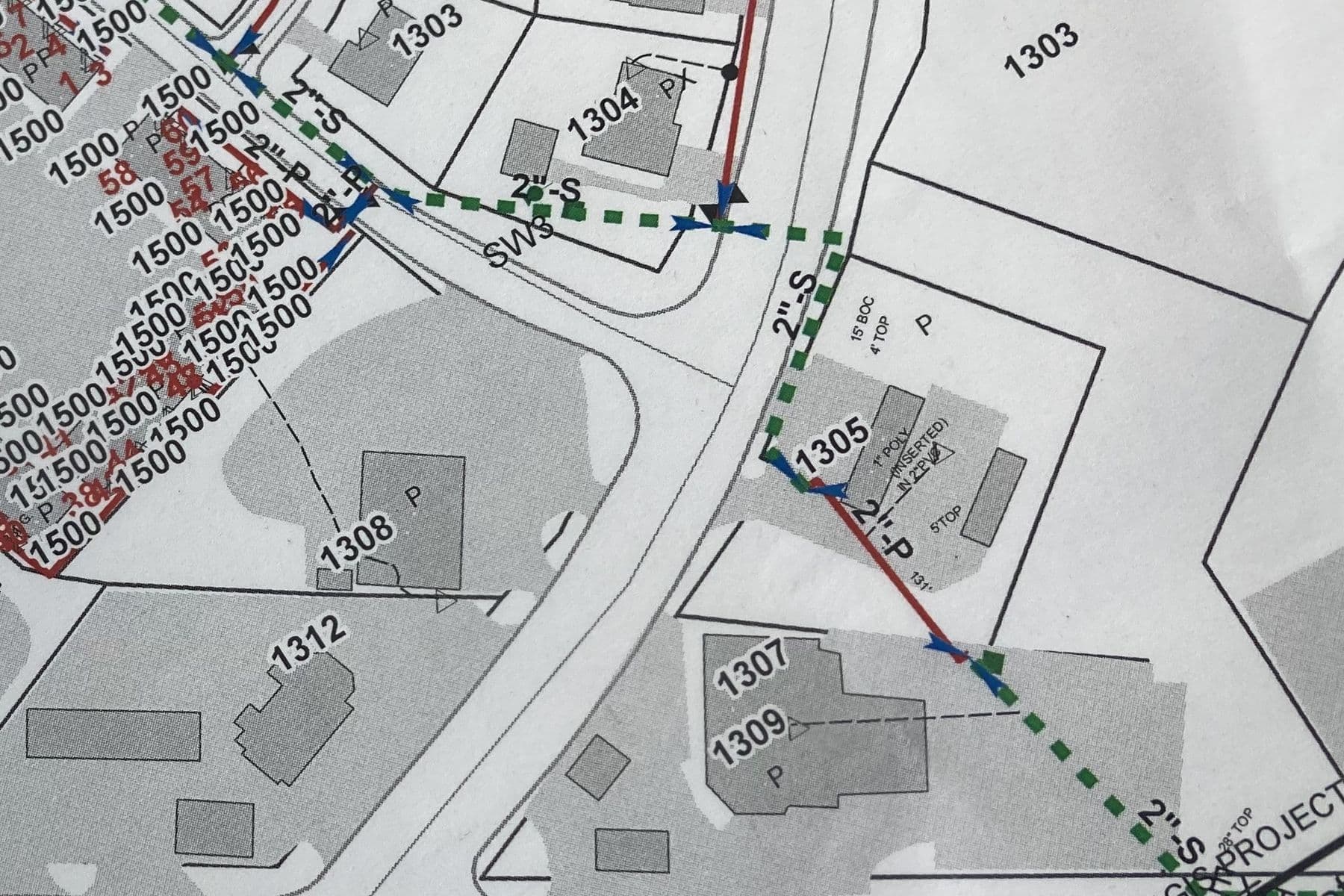
The city gas map sheet shows 2-inch steel where the city GIS shows 1¼-inch plastic.
 1¼"-P plastic
 2"-S steel
Drag the line to compare the two records at the same spot.
City gas map sheet
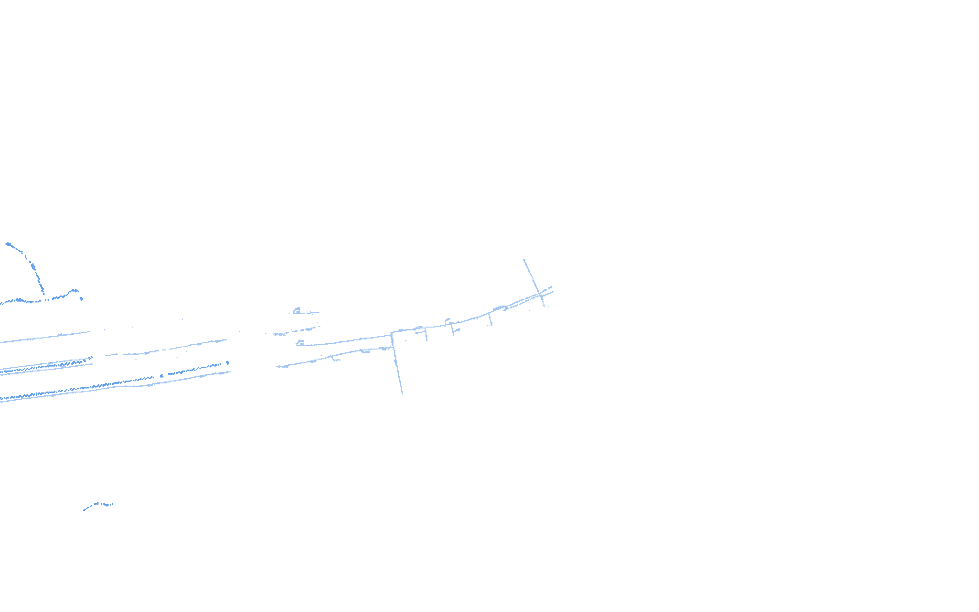
2-inch steel down Prairie Lea St, 15 ft from back of curb. A note at No. 1305 reads 1-inch poly, inserted.
Photo in the TxDOT US 290 utility package
City gas GIS
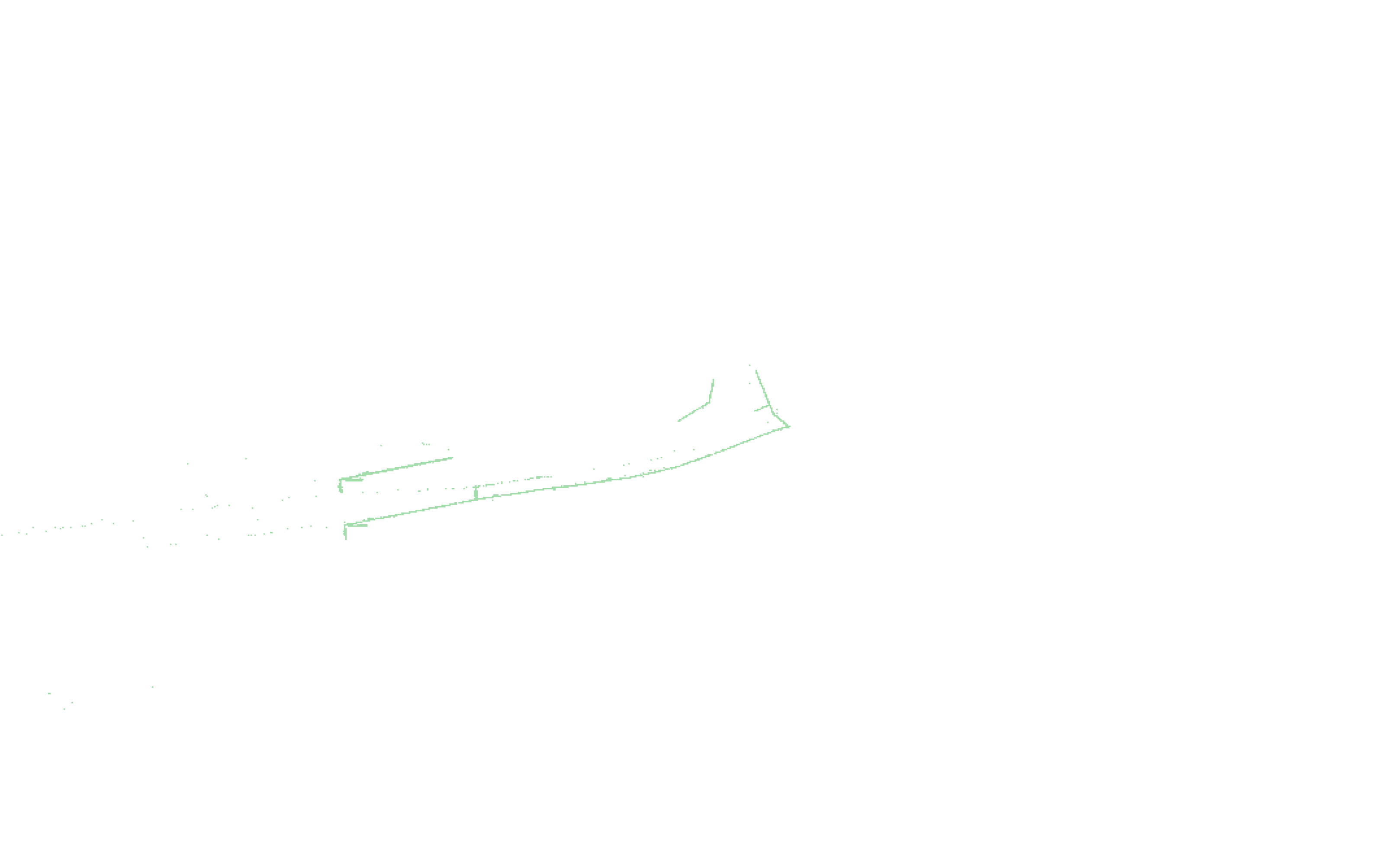
1¼-inch plastic on the same route, in segments of 170, 309 and 335 ft. No steel gas main within 500 ft on this side of the highway.
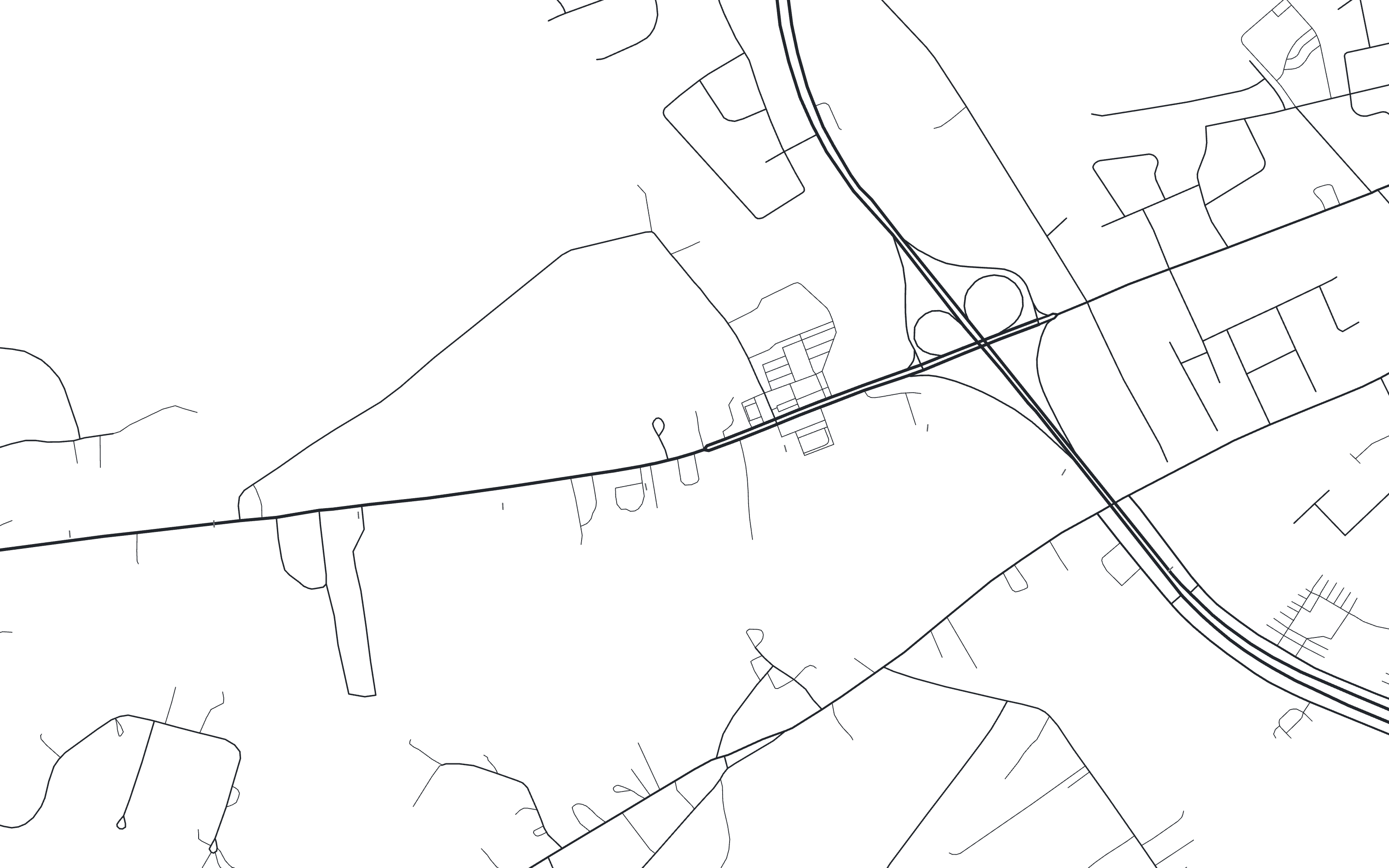
City gas GIS over OpenStreetMap streets, fitted to the sheet along the gas main
STA 4+00What is different
Drafting by hand
Caisson drafts the first pass and keeps the record behind every line.
Maps that show one source
Caisson flags every place a record is missing or conflicts.
Maps built from public records
Caisson works from the records your firm collected, on one computer.
STA 5+00The first block
The first block is free: send one your team has already base-mapped, and the draft comes back within five business days so you can compare it with yours.
Send it to will@getcaisson.com